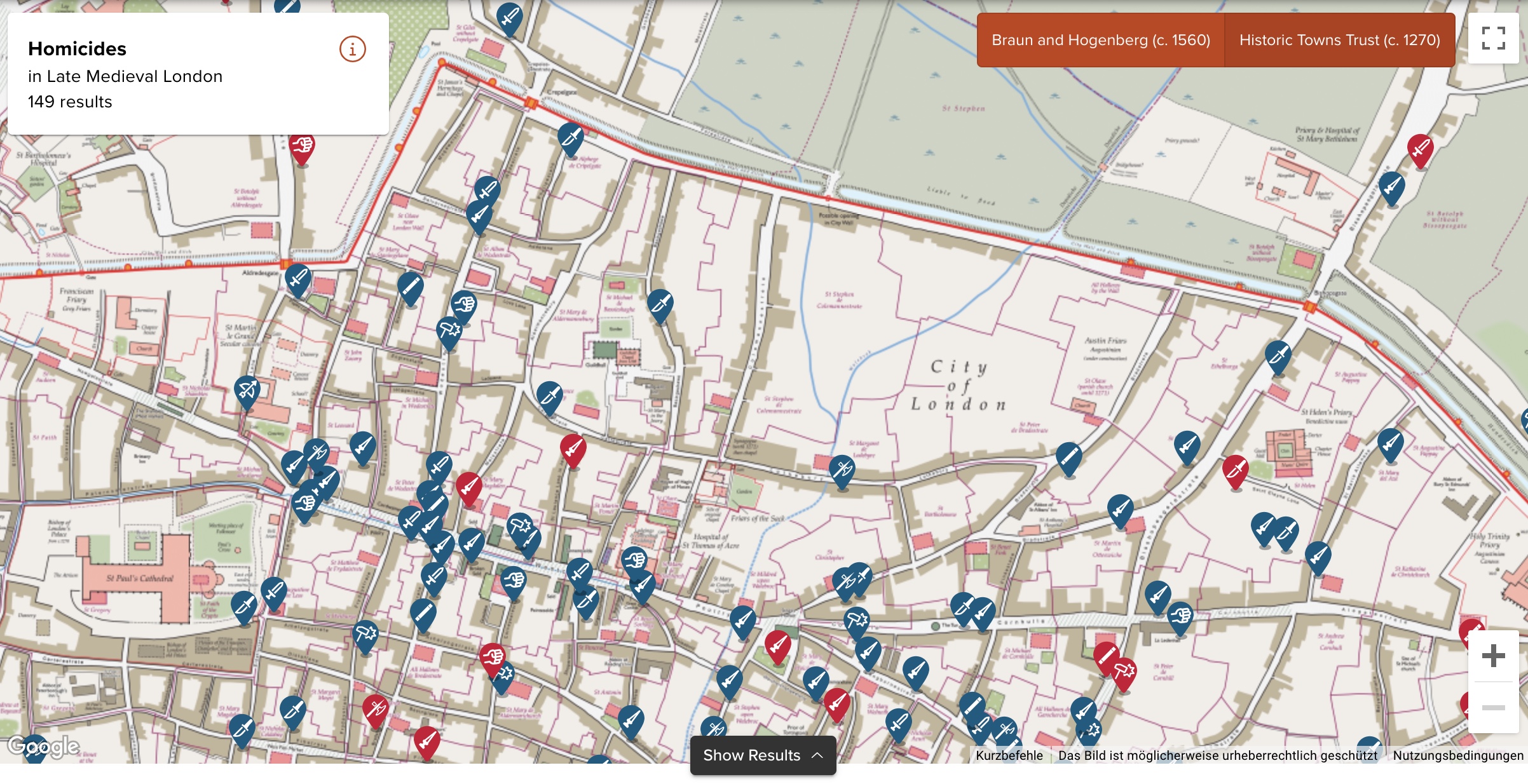
Die University of Cambridge hat eine interaktive Karte im Netz, die die im Mittelalter statt gefundenen Morde und dazugehörige Hintergrundinformationen in London, York, und Oxford zeigt. Ich weiß gar nicht, was genau die Karte für mich so interessant macht, aber ich klicke da jetzt trotzdem schon eine Weile drin rum.
In the first half of the fourteenth century, London was a bustling metropolis. The population of 80-100,000 people mostly lived within the City Walls, with 7 main gates, 25 wards, and about 110 parishes. Along the Thames, the wharfs and markets saw merchants from Flanders and the Hanse Cities, and the area around Poultry and Bank was home to a large financial industry with bankers from Florence and elsewhere. Markets around Bishopsgate, along Cheapside offered fish, meat, milk, bread and other daily goods. London was also famous for its luxury goods, especially gold, clothes, shoes, spices, weapons and jewellery. Powerful guilds such as the tailors, fishmongers, bakers, and cordwainers dominated local politics, controlled prices, and gave a sense of identity to young people as apprentices. Religious houses were scattered across the city, and St Paul’s Cathedral with its massive spire dominated the skyline.
London coroners’ rolls have survived for nine years between 1300 and 1340. The texts report the findings of the investigative jury. They were summoned when a suspicious, sudden and violent death had occurred. Although the details vary, the summary would usually specify where and when the homicide happened, who was involved, what triggered the event, what weapons were used, and what the nature and dimensions of the wound were.

(via MeFi)
